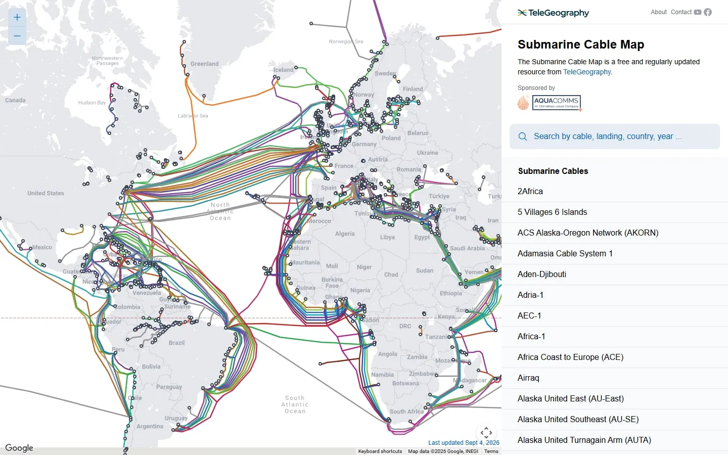
TeleGeography’s Submarine Cable Map plots active and planned undersea communications cables, their landing stations and the companies connected with them. Search by country, cable or year to see the physical routes beneath an apparently wireless internet.
Following a cable
Select a line or use the search controls to open a cable record. The panel identifies landing points and supplies project details, while filters help separate a crowded region into something you can inspect.
Reading the network
Dense clusters around coastlines reveal where many systems converge. Compare routes and landing stations to understand geographic concentration, but remember that the map does not show every terrestrial connection beyond the beach.
Research rather than monitoring
TeleGeography describes the map as regularly updated, and the page displays its update date. It is a reference to infrastructure and planned systems, not a real-time status display for outages or traffic.
Things to know
- Cable paths are diagrammatic rather than survey-grade coordinates.
- The map does not show live capacity, traffic or faults.
- Planned projects can change before entering service.