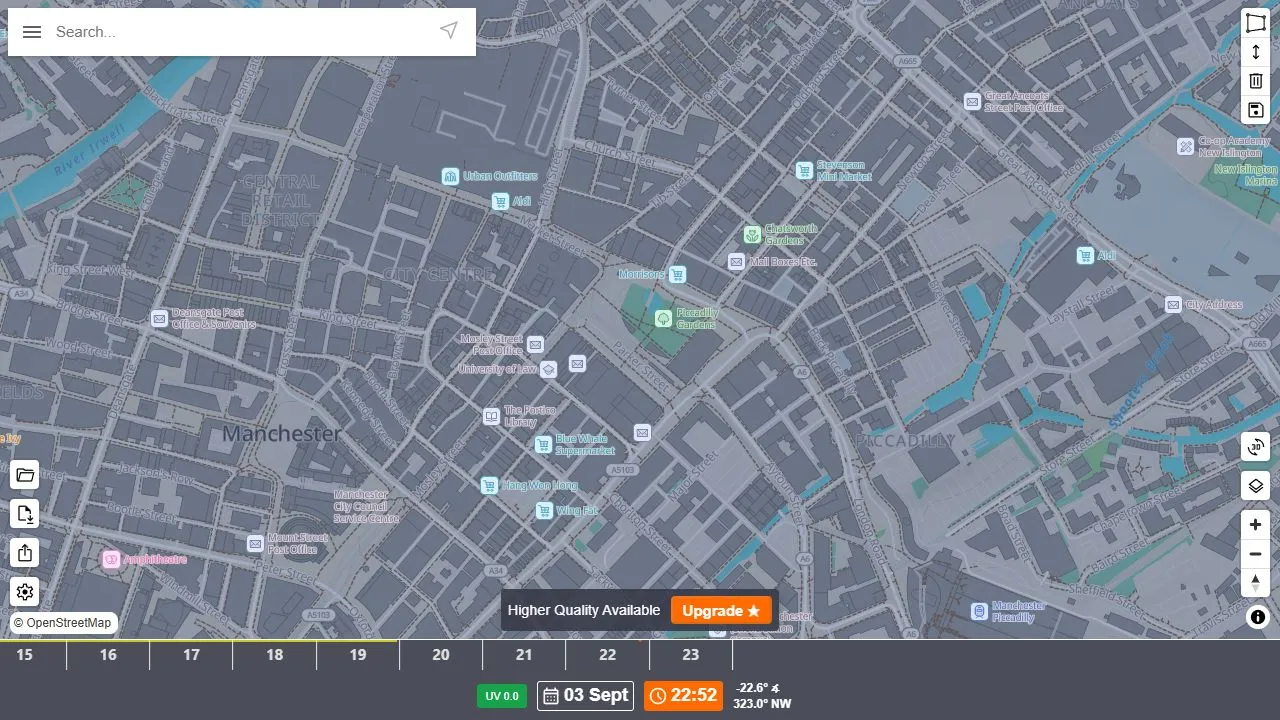
ShadeMap combines a searchable map with date and time controls to visualise shadows from terrain, buildings and trees. It is a practical starting point for thinking about garden sunlight, outdoor seating or the light at a photography location.
What it shows
The map models shading for a selected time and date, alongside sun altitude and direction. Changing the date matters as much as changing the hour when you are comparing seasonal sunlight.
How to explore
Search for a location, zoom to the relevant area and use the timeline. Compare several times rather than relying on one snapshot of a garden or building.
Use it as an estimate
Shadows depend on the underlying terrain and object data. Missing trees or inaccurate building heights can change the answer, so check the real location before making an expensive decision.
Things to know
- Data coverage and detail vary by location.
- Higher-quality data and additional features may require payment.
- Not a substitute for a professional site survey.