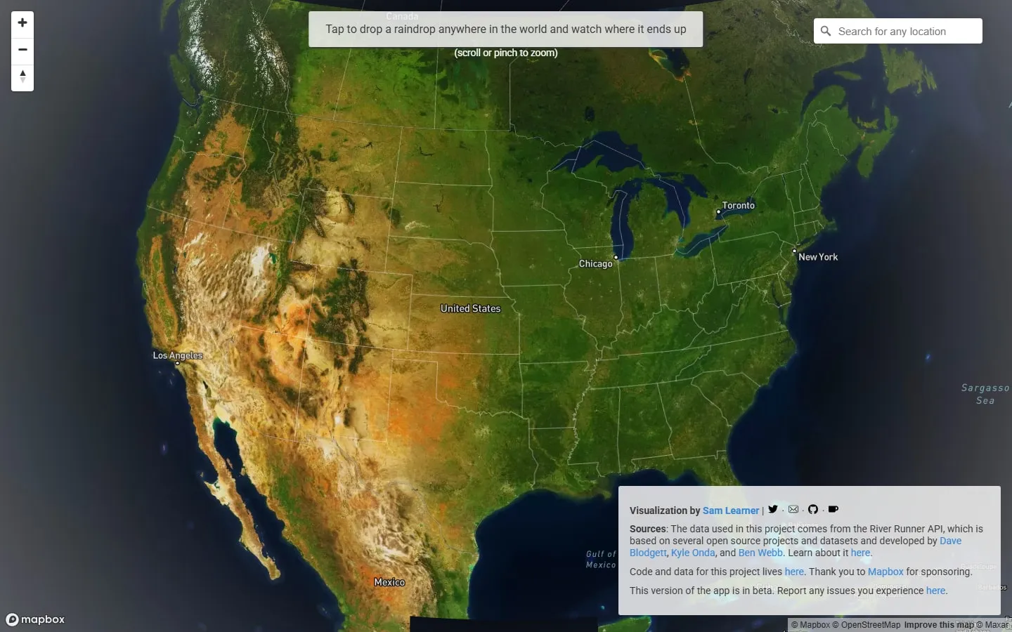
River Runner Global traces a path from a selected point through streams and rivers towards the sea—or towards an inland basin. The animated journey makes watersheds legible at a human pace and shows how a local slope connects to a much larger drainage system.
Start with a place
Search for a location or click directly on the map, then start the route. The camera follows the modelled path downhill, naming waterways and letting you pause or change the viewing speed.
What the route explains
A journey links small tributaries to river systems that may cross regions and national borders. It is especially useful for understanding why pollution, rainfall and land use in one place can matter far downstream.
Treat it as a model
The route is calculated from open geographic and elevation data. Small culverts, engineered channels, seasonal flows and gaps in the source data may not be represented exactly as they are on the ground.
Things to know
- The project is labelled beta.
- Routes depend on the accuracy and resolution of source data.
- Long animated journeys can be demanding on slower devices.