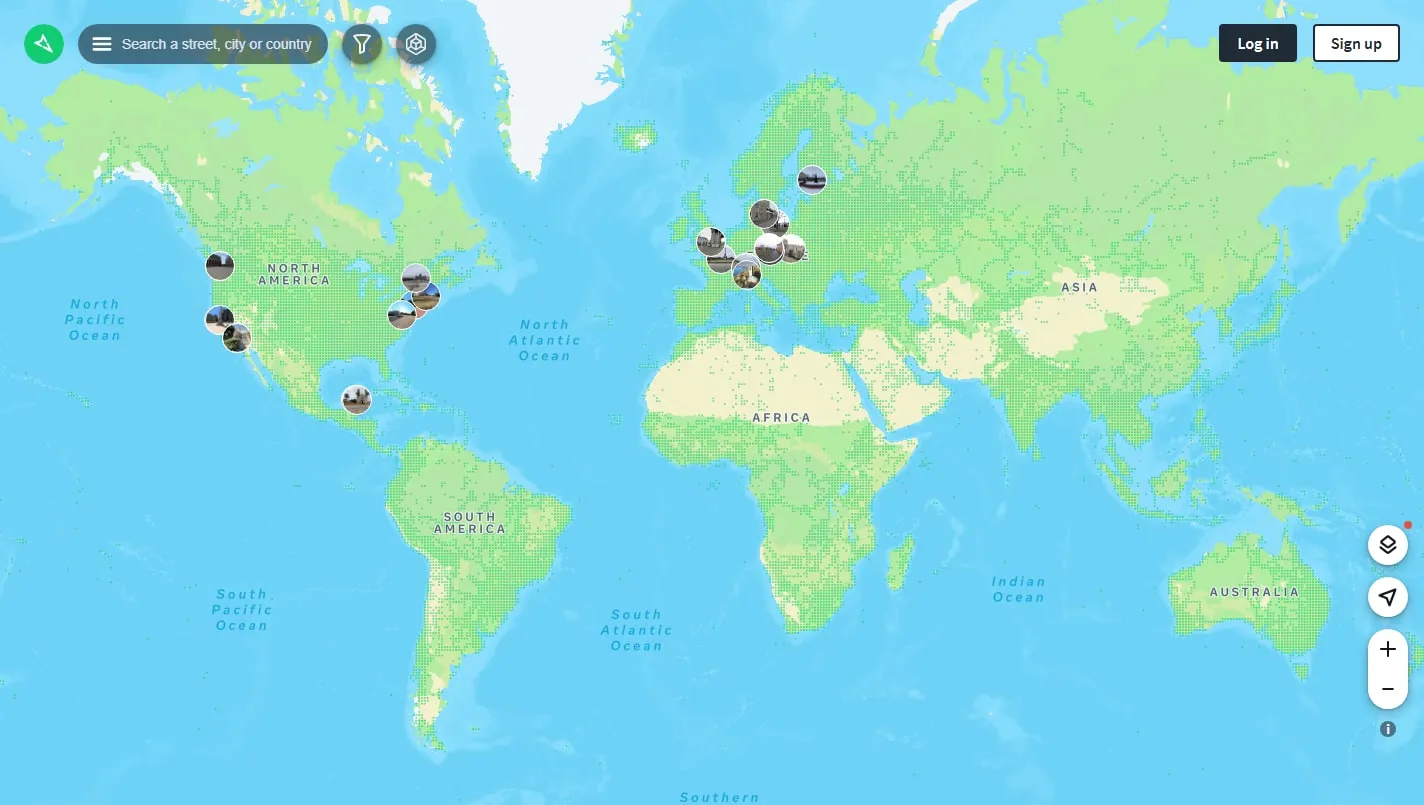
Mapillary layers billions of user-contributed street images onto a world map. It reaches roads, paths and dates that conventional street-view services may miss, while giving mappers a way to upload new coverage and inspect detected map features.
Find actual coverage
Search for a place and use the coloured coverage lines to locate a captured sequence. Open an image, move forward or backward along the route and check its date before assuming it reflects the street as it looks today.
Compare more than one pass
Where several contributors have covered the same road, filters and capture layers can reveal older or alternative imagery. That makes the service useful for noticing construction, signage, seasonal access and gradual local change.
Contribute responsibly
The mobile and uploader tools accept imagery from phones, action cameras and dashcams. Plan a safe route, respect local rules and review Mapillary’s terms; automated face and licence-plate blurring helps but does not replace careful capture practice.
Things to know
- Coverage, image quality and recency vary widely by location.
- Some contribution and data features require an account.
- Imagery and extracted data remain subject to Mapillary’s usage terms.