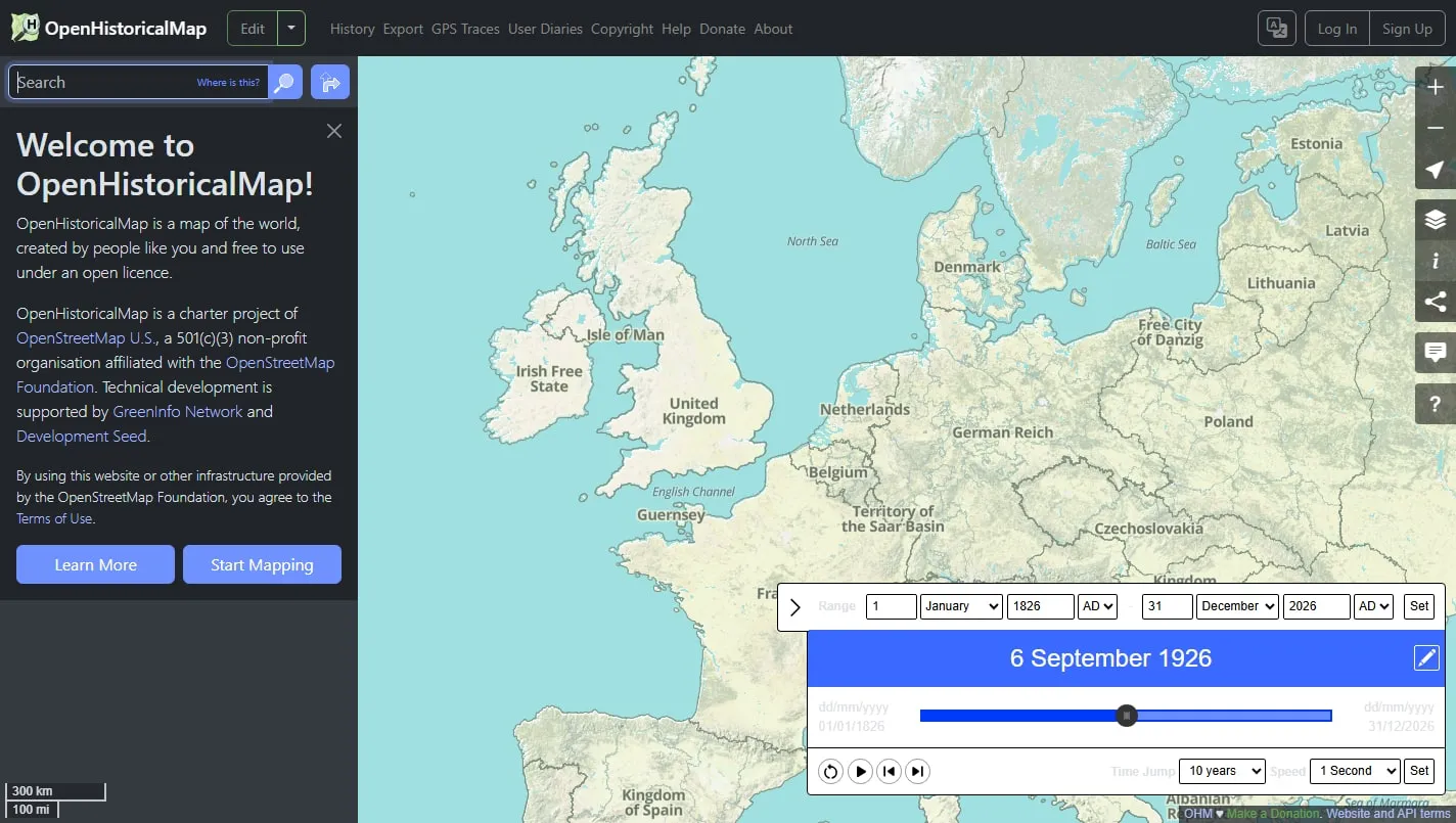
OpenHistoricalMap applies the collaborative mapping model to the past. Its time controls reveal roads, buildings, boundaries and names that existed at different dates, while the underlying project invites contributors to improve the public-domain dataset.
Browse through time
Search for a place, set a date range and move the timeline to see which mapped features apply. Local streets and buildings can be as revealing as national borders, especially where several contributors have documented one area carefully.
Look beneath the rendering
The visible map is generated from structured geographic data with dates and sources. That makes the project useful beyond casual browsing: features can be inspected, compared and reused instead of existing only as pixels in a scanned map.
Contribute with evidence
Editing is closer to historical research than tracing whatever looks plausible. Use reliable dated sources, record uncertainty honestly and follow the project’s mapping conventions so another contributor can understand why a feature was placed there.
Things to know
- Many places and periods still have sparse coverage.
- Dates and boundaries can be uncertain or disputed.
- Contributing responsibly requires source research and familiarity with mapping tools.